London Book Dealer Paul Bentley's Map Collection to Auction
Sworders
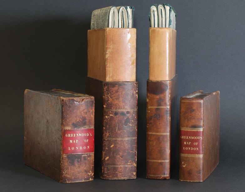
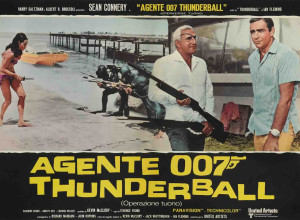
Two first edition copies of the Greenwood London maps published in 1827
Sworders’ upcoming Books and Maps sale will include the collection of London book dealer Paul Bentley (1931-2022). The 200 lots – including a copy of the most famous British atlas of the 17th century - come for sale from his niece.
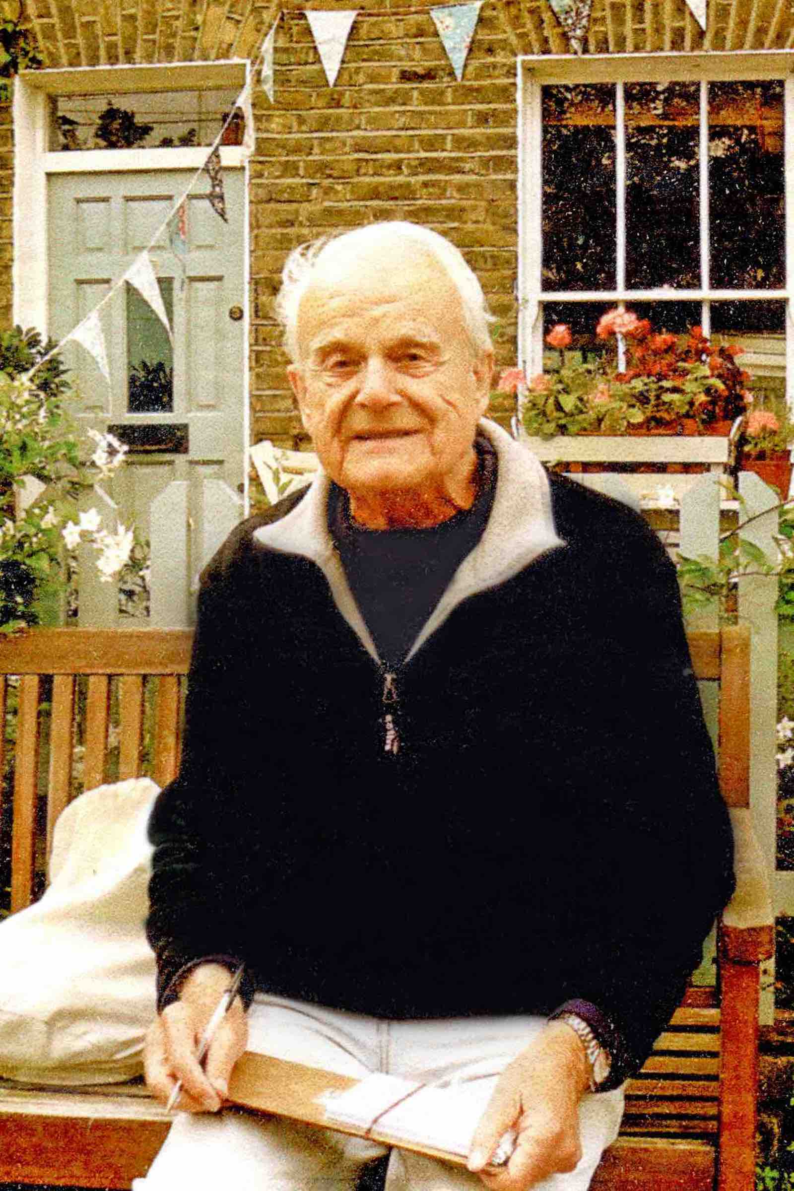
Paul Bentley, who grew up in wartime London had enjoyed some success in the advertising industry as a copywriter. But he had always loved maps, landscape and walking, and in the 1970s he left the office behind to set up in business with his wife, Mary, dealing in antiquarian books and maps. He became a recognised specialist in the field and his research is credited in both James Howgego’s Printed Maps of London 1553-1850 and Ralph Hyde’s Printed Maps of Victorian London 1851-1900.
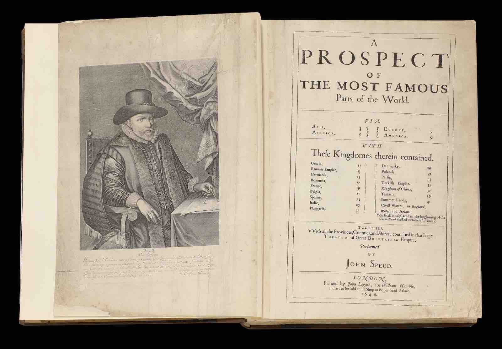
Paul Bentley bought his complete copy of John Speed’s celebrated atlas Prospect of the Most Famous Parts of the World quite cheaply in the late 1960s in poor condition. At the time most copies were being broken up for their plates. However, it was later painstakingly restored over many months by one of his contacts at the British Museum. A copy printed in The Commonwealth period c.1646-50, it carries an estimate of £10,000-15,000 for the October 10 sale.
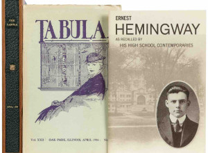
The sale features a copy of the 17th century pocket atlas A Tabularum Geographical Contractarum Libri Septem, guided at £5,000-7,000. Cartographer Petrus Berties (1565-1629), professor of mathematics and librarian at the University of Leiden, engraved 169 maps for the project and provided the Latin text. It ran to ten editions between 1600-50 with this copy (seven parts bound in one volume) printed by Jodocus Hondius of Amsterdam in 1616.
1/3
Sworders
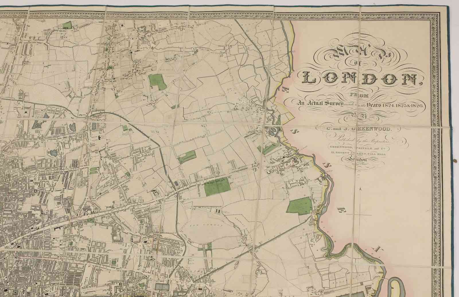
From the Greenwood London maps published in 1827
2/3
Sworders
The John Speed atlas
3/3
Sworders
Paul Bentley
Lots also include a large number of rare London maps and notably two first edition copies of the Greenwood London maps published in 1827. Brothers Christopher and John Greenwood spent three years on their new survey of London (1824-26) producing a highly detailed map of on a scale of 8in to a mile. Engraved by James and Josiah Neele, it outlined plans for the development of Belgravia and Bayswater and the recent additions of both the Grand Surrey Canal and Regent's Park. Each map has an estimate of £5,000-10,000. “The extensive collection of London atlases is the largest collection to come to market for some time,” said Sworders Books & Manuscripts specialist Michael Kousah.
Also going under the hammer is one of the great English botanical books of the following century, Flora Londinensis by William Curtis. A folio-sized book published in parts between 1777-98, it describes the botany found in and around London in the 1700s. The copy owned by Bentley, in three leather-bound volumes, is estimated at £5,000-7,000.
Previous works on the flora of Britain had been intended for scientists, apothecaries, and herbalists, but Curtis (the director at the Chelsea Physic Garden) wrote for the general reader. He commissioned several painters to produce the hand-coloured copper engravings to assist in the identification of a species.