New Book Focuses on Historic First Detailed Map of 18th Century London
Atlantic
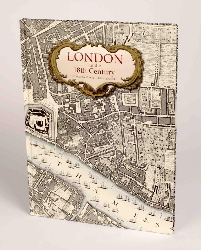
London in the 18th Century
London in the 18th Centuryby Wallace Crawford Snowden, revised and edited by Marie Clayton, offers a full reproduction of pioneering cartographer John Rocque’s 1746 An Exact Survey of the Cities of London and Westminster which provided a detailed bird's-eye view of London for the first time.
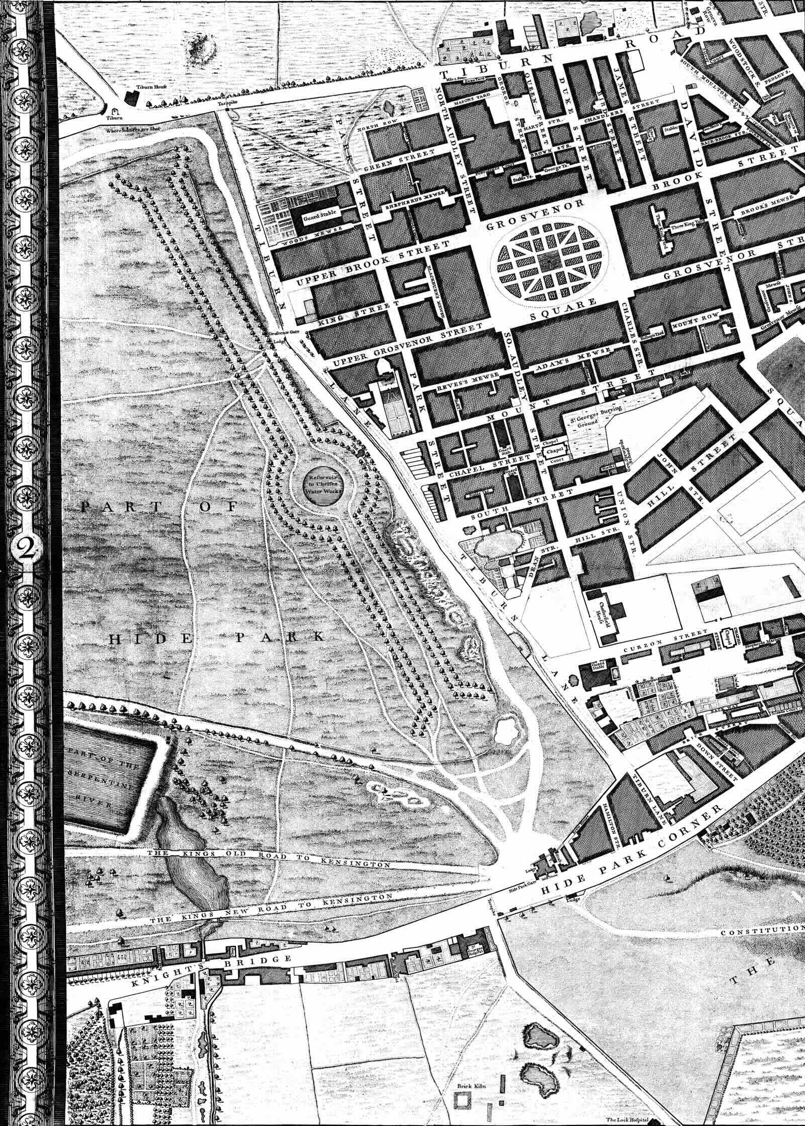
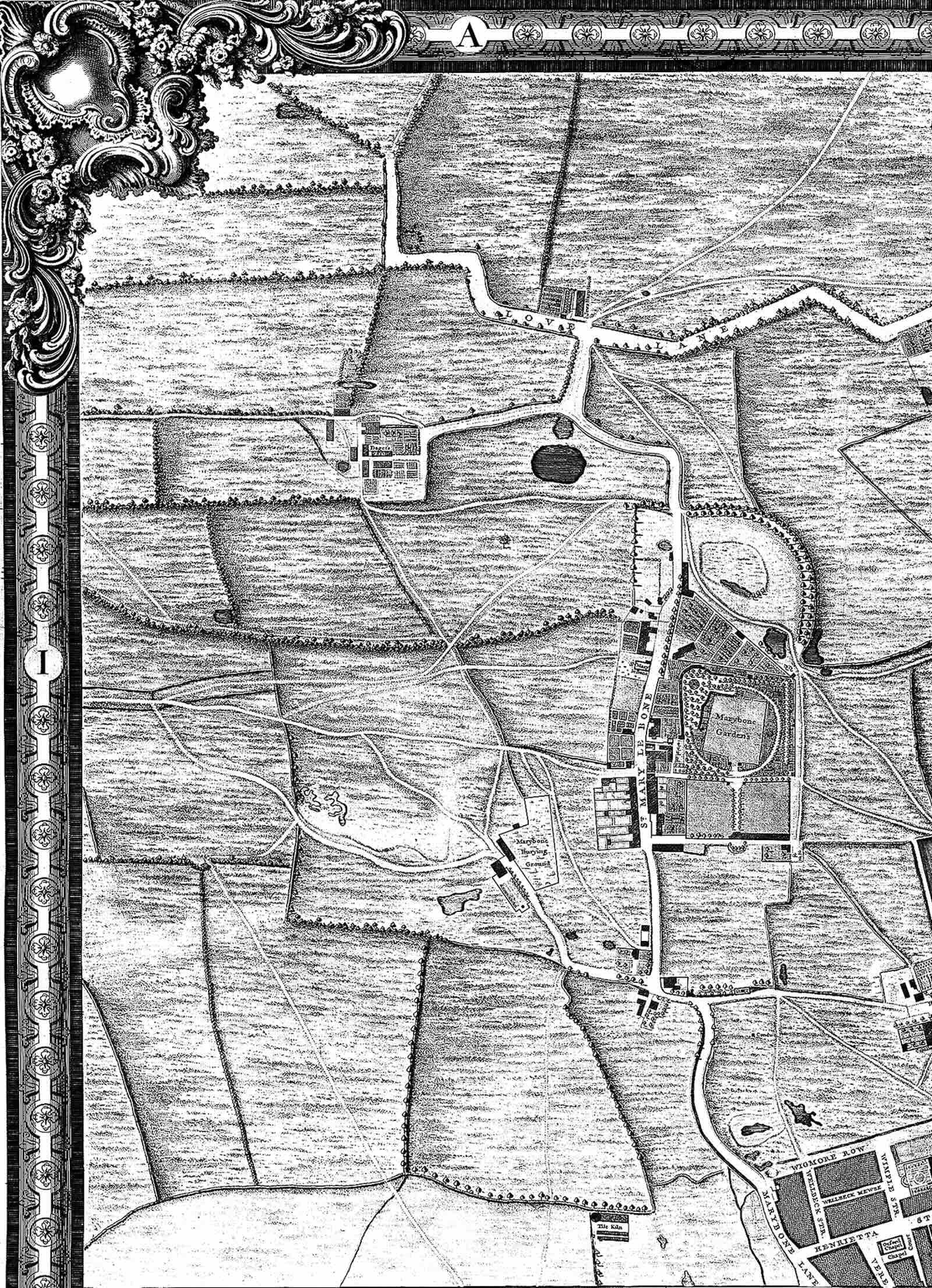
Published by Atlantic Publishing, the map is divided into 24 sections and is presented alongside contemporary illustrations of Georgian London. Each section of Rocque’s map comes with an accompanying history and illustrations, exploring what life in London’s districts was like at the time, while identifying streets and buildings which still exist and plotting the course of major thoroughfares as yet unbuilt.
Each section of Roque’s detailed map reveals the different areas of London at a time when Bermondsey was the centre of ropemaking, watchmakers dominated Clerkenwell and weavers were based in Spitalfields. At this point in the city's history Marylebone fields was an area of scrubland used for duels and notorious for highwaymen, and South London was full of fields, orchards, Inns, farms, timber yards and military camping grounds.
1/3
Atlantic Publishing
Hyde Park and Mayfair section of John Rocque's 1746 map
2/3
Atlantic Publishing
Marylebone Fields section of Roque's 1746 map
3/3
Atlantic Publishing
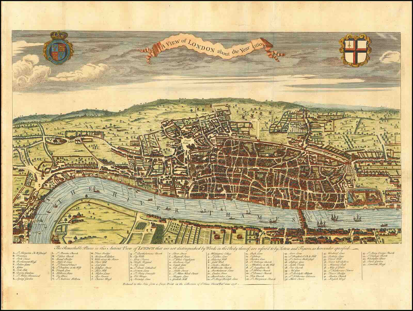
Around the time John Rocque was making his map, the artist and engraver George Vertue copied this view of London in 1560 from an ancient print in the possession of Hans Sloane which was later used as the title plate to William Maitland’s History and Survey of London From its Foundation to the Present Time published in 1739.
John Rocque (c. 1704–1762) was a French-born Huguenot cartographer, surveyor, and engraver who revolutionized mapping by using triangulation techniques. Trained as a draughtsman, his earliest occupation from 1734 onwards was drawing the plans, views and elevations of the great country mansions, and was appointed cartographer to the Prince of Wales.
Over the course of nearly 30 years he built up an important business as a land surveyor, engraver and general map seller on premises near Hyde Park Corner, which his widow Mary Ann continued with the help of his original employees for another decade.


![Origen of Alexandria (c. 185–253) Homilia in Genesim, Homiliae in Exodum, in Latin, translation by Rufinus, decorated manuscript on parchment [Austria, Lambach Abbey? c. 1150–1175]. Estimate: $150,000-$200,000.](/sites/default/files/styles/category_card/public/media-images/2026-06/origen.jpeg?itok=0V_4_Lt2)