Skip to main content
Subscribe to our e-letter
Webform
For book news, special columns, auction reports, events, and more.
News
Magazine
Print Issues
Catalogues Received
Auction Guide
Download Center
Store
Resource Guide
Place a Listing
See the Guide
Subscribe
Print Edition
Free E-letter
Calendar
Contact Us
Advertising Information
stephen j. hornsby
Library of Congress Publishes "Picturing America: The Golden Age of Pictorial Maps"
March 27, 2017
Designed to educate, amuse, or advertise, pictorial maps were a clever and colorful component of print culture in the mid-20th century, often overlooked in studies of cartography.
Publisher
Brothers’ Fine and Collectible Books
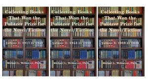
Available now: Collecting Books That Won the Pulitzer Prize for the Novel/Fiction (3
(more)
Appraisals
Art of Estates
Appraisal firm providing professional certified formal appraisals for IRS (Estate
(more)
Book Dealer: Antiquarian & Rare
Oddfellow's Fine Books
PO Box 3821
Topeka, KS 66604
(785) 235-1181
Bindery
Dragonfly Bindery/Studio
670 Park Avenue
Woonsocket, RI 02895
(401) 766-8786
Subscribe to the Magazine
Buy the Current Issue
Buy Back Issues
By Nicholas Basbanes